Pictures of Our Trip Around the Island, Part 6: Macadamia Nuts

After leaving the Volcanoes Park and a quick stop at McDonalds for Lunch, we stopped at Mauna Loa Macadamia Nuts for a quick tour. Of course, the tour was self-guided and up on a second story platform down the outside of the building, and I was just not up to climbing the stairs.
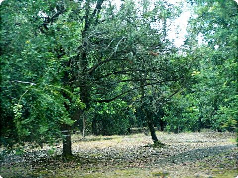
macadamia1

This is part of the macadamia Nut Tree Grove, I think there were 250,000 trees on 2500 acres, if I remember properly.
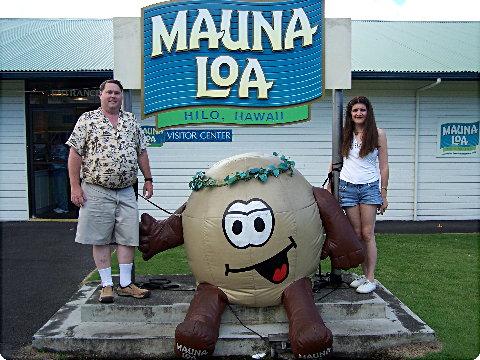
macadamia2

At least we got our picture taken by the inflatable logo :-), then we picked up some nuts and candy in the gift shop, along with a terrific ice cream cone and some free samples.
Pictures of Our Trip Around the Island, Part 5: Volcano Park

Pictures from the Hawaii Volcanoes National Park:

volcanopark5

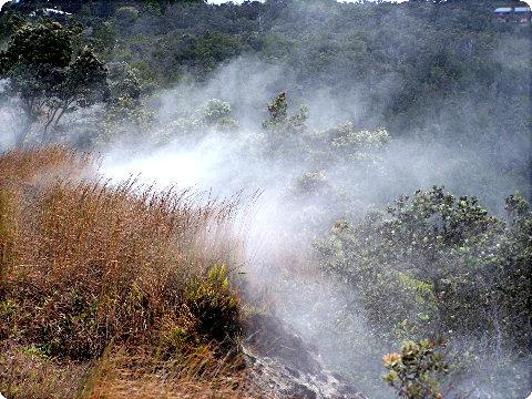
Steam coming out of the steam vents on the north side of the Kilauea Caldera, the Steaming Bluff.

volcanopark6

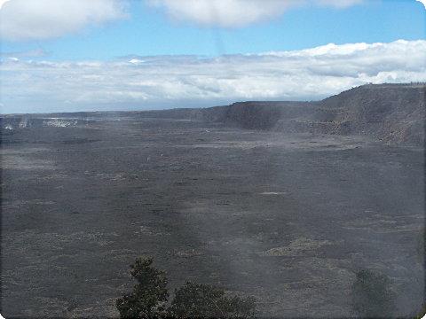
A view down into the western side of the Kilauea Caldera from the Steaming Bluff on the north side of the caldera, the steam causing the fuzziness in the picture.

volcanopark2

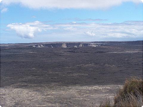
Looking at the Halema’uma’u Crater within the Kilauea Caldera from the Steaming Bluffs.

volcanopark3

The east side of the Kilauea Caldera from the Steaming Bluffs.

volcanopark7

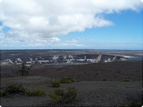
Another view of the Halema’uma’u Crater, this time from the Jaggar Museum Lookout on the west side of the Kilauea Caldera.

volcanopark10

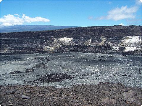
Another view of the Halema’uma’u Crater from the crater edge observation point on the east side of the crater.

volcanopark9

Passing through the 1974 Lava Flow.

volcanopark4

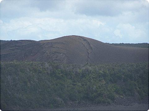
An interesting small folded lava dome on the southeast side of the Kilauea Caldera.

volcanopark11

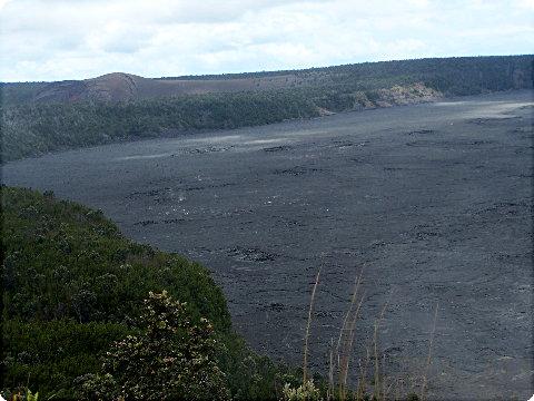
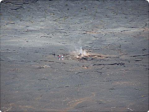
A look down into Kilauea Iki (Little Kilauea) Crater, showing people walking the hiking trail across the bottom of the crater.

volcanopark12

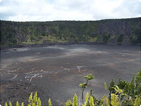
A more overall view of Kilauea Iki.

volcanopark13

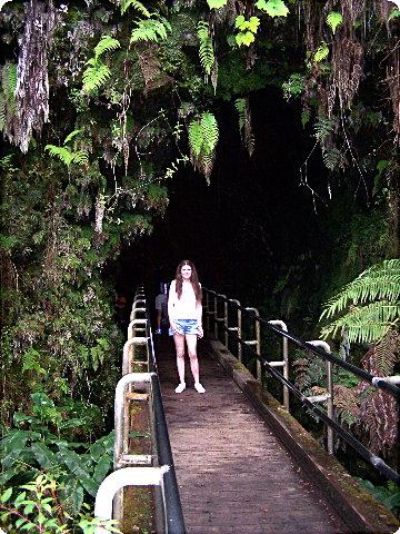
Marianne at the entrance to the Thurston Lava Tube.

volcanopark14

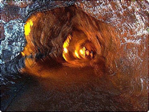
A little blurry, but a view into the Thruston Lava Tube.

Pictures of Our Trip Around the Island, Part 4: Desolation & Steam

After we left Punaluu Black Sands Beach Park, the Hawaii Belt Road heads towards the Hawaii Volcanoes National Park. There is little or nothing along the road all the way through the park until you get to the community of Volcano on the east side of the park.

desolationroad1

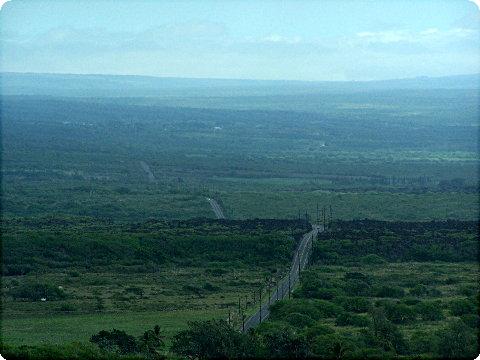
Within the park, there is a hiking trail called “Desolation Trail”… I think this picture of the highway ahead could be called “Desolation Road”. Only the power poles in the foreground give away the fact there are still a couple of small communities ahead before entering the park itself.

desolationroad2

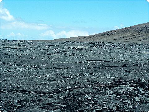
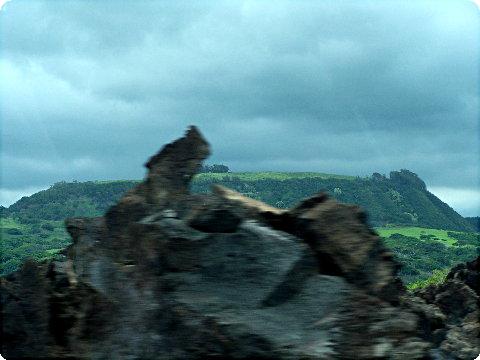
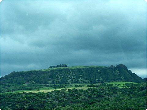
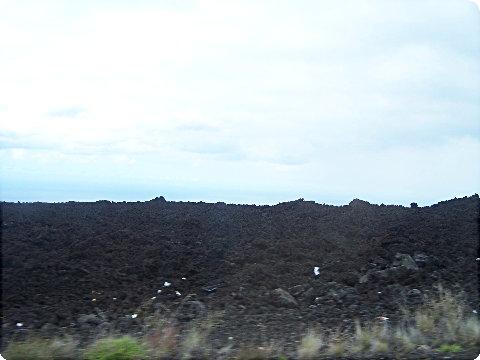
I thought this picture of an ancient lava dome in the background with a pile of broken lava in the foreground (speeding by at 50 mph) was unique.

desolationroad3

Here is a picture of the ancient lava dome by itself.

lavasteam

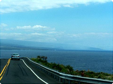
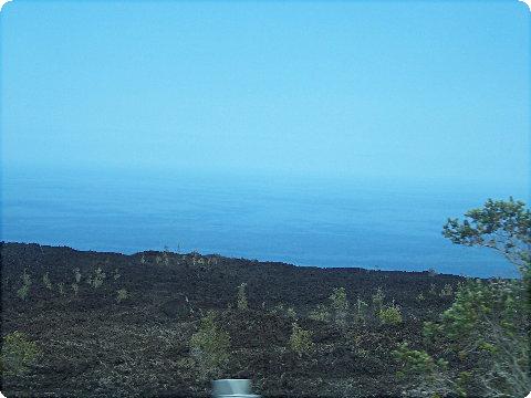
This picture was actually taken a few miles previous to going to the black sands beach. I can’t be sure, as I didn’t really take time to make my bearings, but the haze in the background at ocean level obscuring the shoreline at a great distance could be steam created as fresh hot lava was entering the ocean.

Pictures of Our Trip Around the Island, Part 3: Punaluu Black Sands Beach

Some pictures of the Punaluu Black Sands Beach Park area:

blacksands1

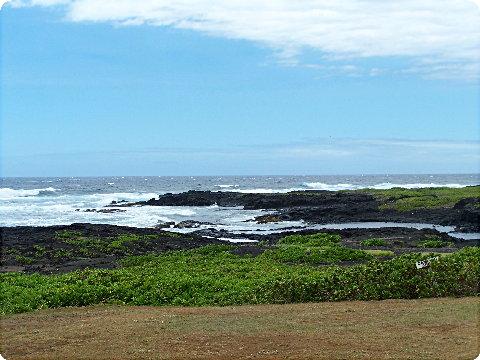
The lava coast to the west of the park.

blacksands2

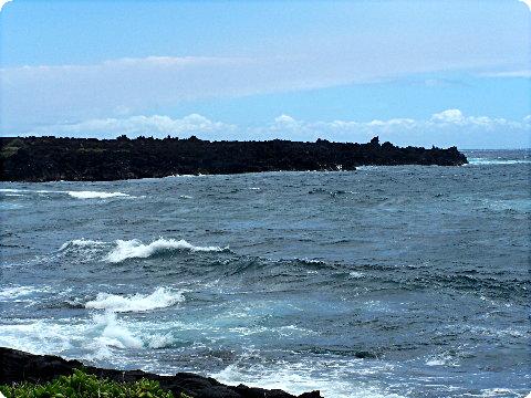
The lava coast to the east of the park and the bay leading into the beach itself.

blacksands3

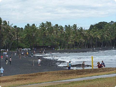
The Punaluu Black Sands Beach. I was somewhat disappointed, I was expecting something else, I guess, but it was more like a beach covered in finely crushed granite (like blacktop stone). I thought the basalt lava would have a different texture, I guess….

Pictures of Our Trip Around the Island, Part 2: Southern Lava Fields

After we crossed over the southwestern end of the island, we once again got into massive lava fields with little or no vegetation. Here are a few pictures as we progressed eastward across the south side of the island.

southlava1

southlava2

southlava4

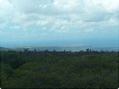
Notice the wind power facility on the point… This was one area of vegetation between the big lava flows. The wind power facility appears to be on top of an ancient lava flow that forms a point out into the sea.

southlava5

Another old lava flow passing by at 50 mph…..