
Well, after breakfast we decided to see if we could schedule a helicopter ride around the island this morning, but alas, nothing was available on that short notice. However, we did get onboard an airplane ride around the island. It was a 6 passenger propeller craft, and we had a great time. I took almost 60 minutes of video, and Marianne took several hundred photos. I have included a few shots below….
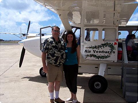
That’s our plane… Just before boarding
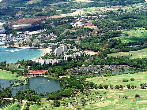
"Downtown" Lihue, Kauai
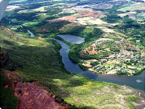
The fishpond and river south of Lihue.
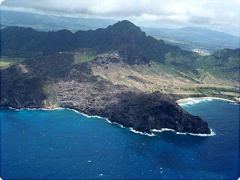
Southeastern corner of the island.
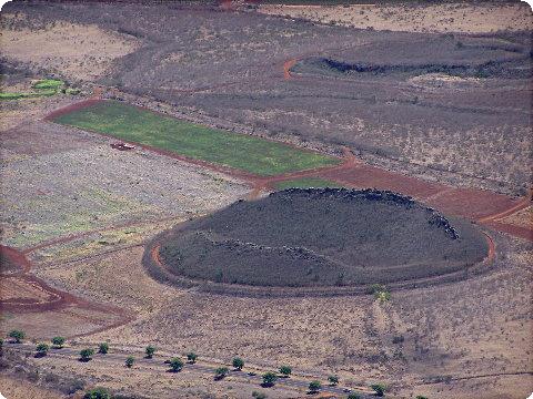
This crater, on the southern shore, near Poipu, is thought to be the site of the last eruption on Kauai Island many thousands of years ago.
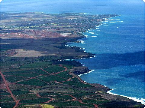
The Poupi Coast
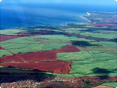
Sugar Cane fields west of Hanapepe
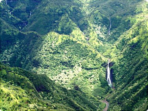
Waterfalls on the Hanapepe river.
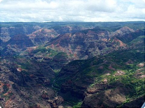
The "Grand Canyon" of the pacific: Waimea Canyon.
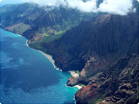
The Napali Coast on the west side of Kauai. These cliffs rise out of the ocean to heights of 4,000 feet, nearly straight up.
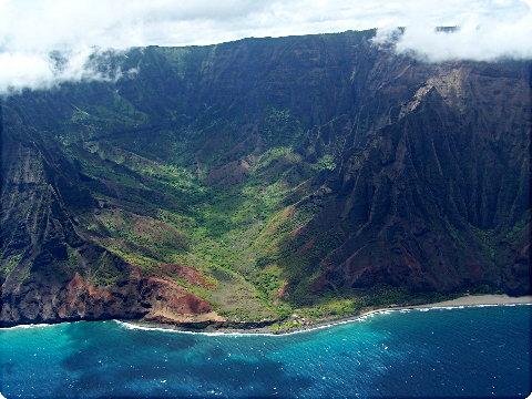
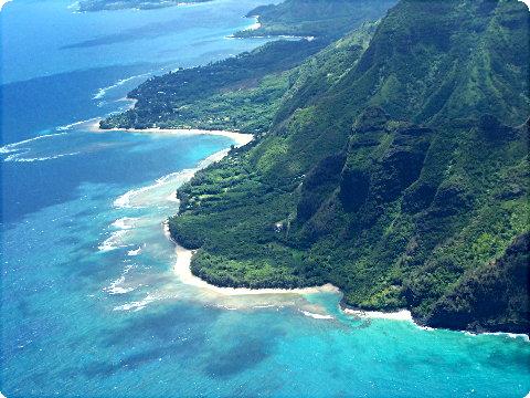
The north end of the Napali Coast.
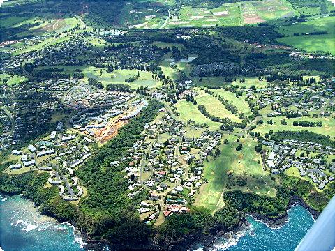
Princeville, near the Hanalei Bay.
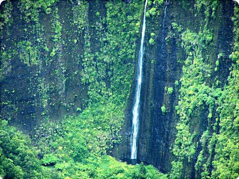
Waterfalls abound in the central part of the island, the central mountain, Wai’ale’ale, is the wettest point on earth, with an average rainfall of about 450 inches a year!
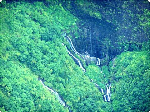
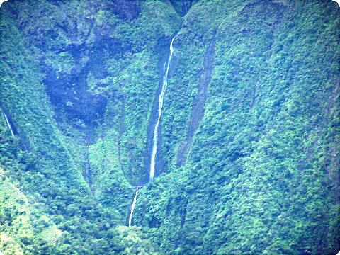
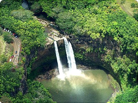
Trivia Question of the Trip: Who can tell me where you have seen this waterfall before (and not on Kauai). It has been filmed and used on a very popular show, just tell me which one?
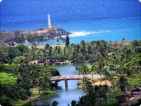
Nawiliwili Lighthouse on the south end of the airport, just before landing.
Trivia Answer: Fantasy Island {S Iwin}
I’ll have to make you you a scrapebook on your Hawaii trip.