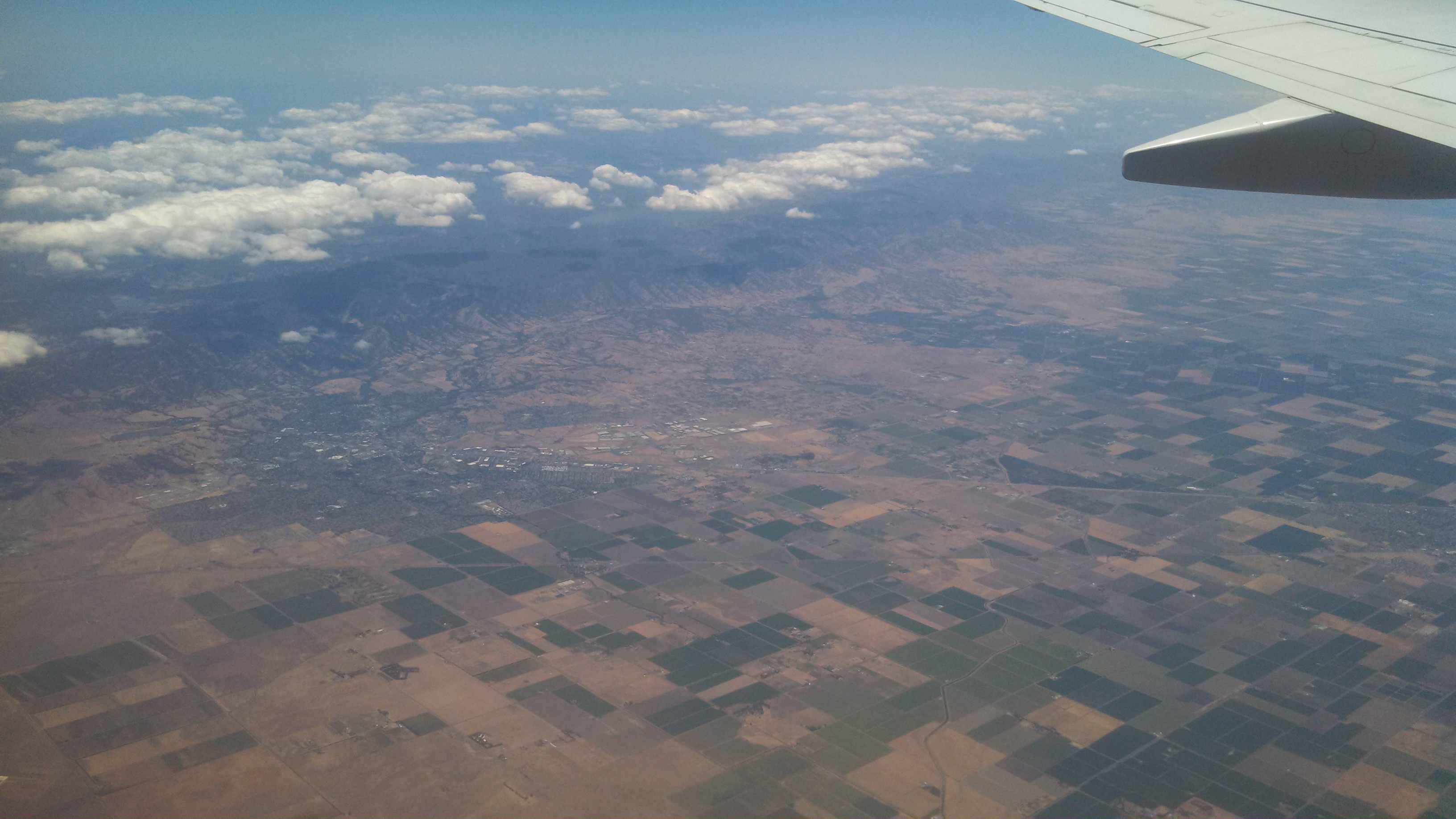
1:22pm PDT: Farmland east of San Francisco, 10+ minutes into flight.
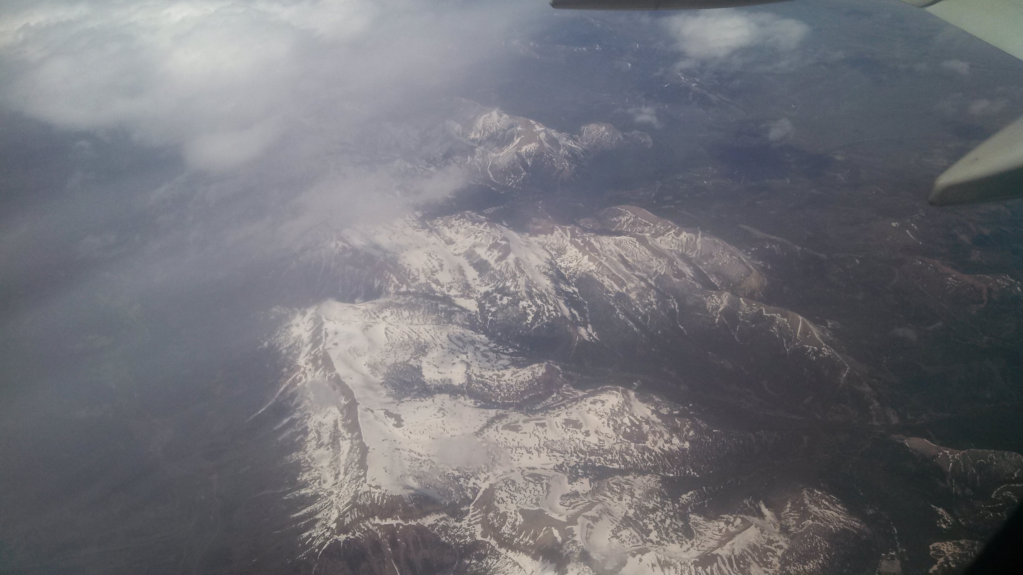
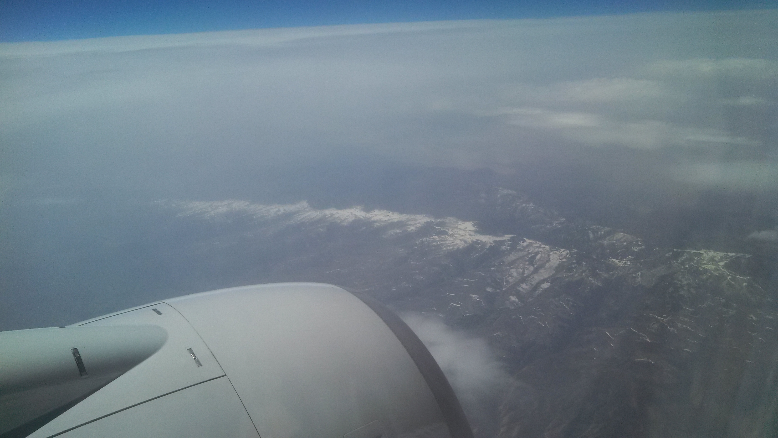
2:23pm PDT: Snow on the mountains, probably Utah or Colorado, 1h 10m into flight.
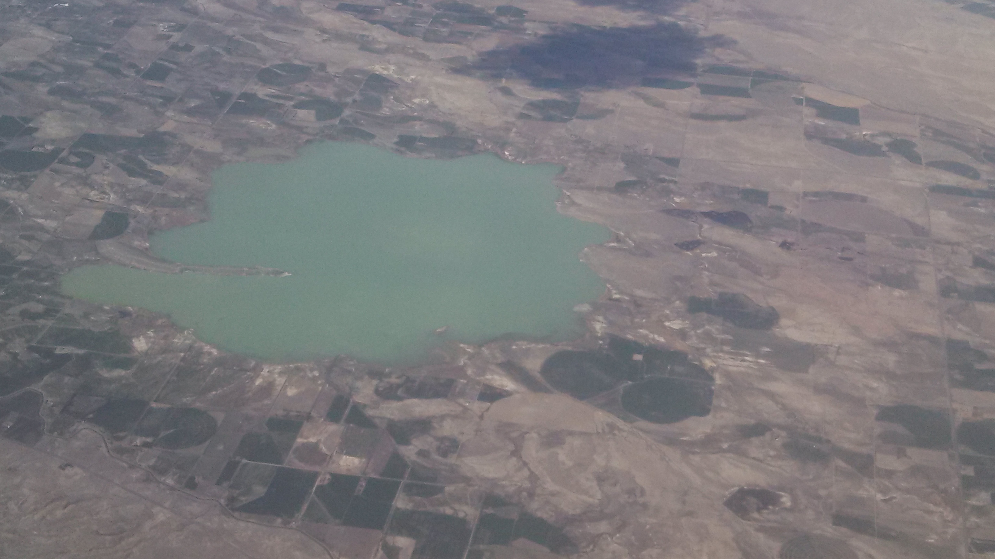
2:34pm PDT: Maybe I can find this unique shaped & colored lake in Google earth and figure out where we were. 😉
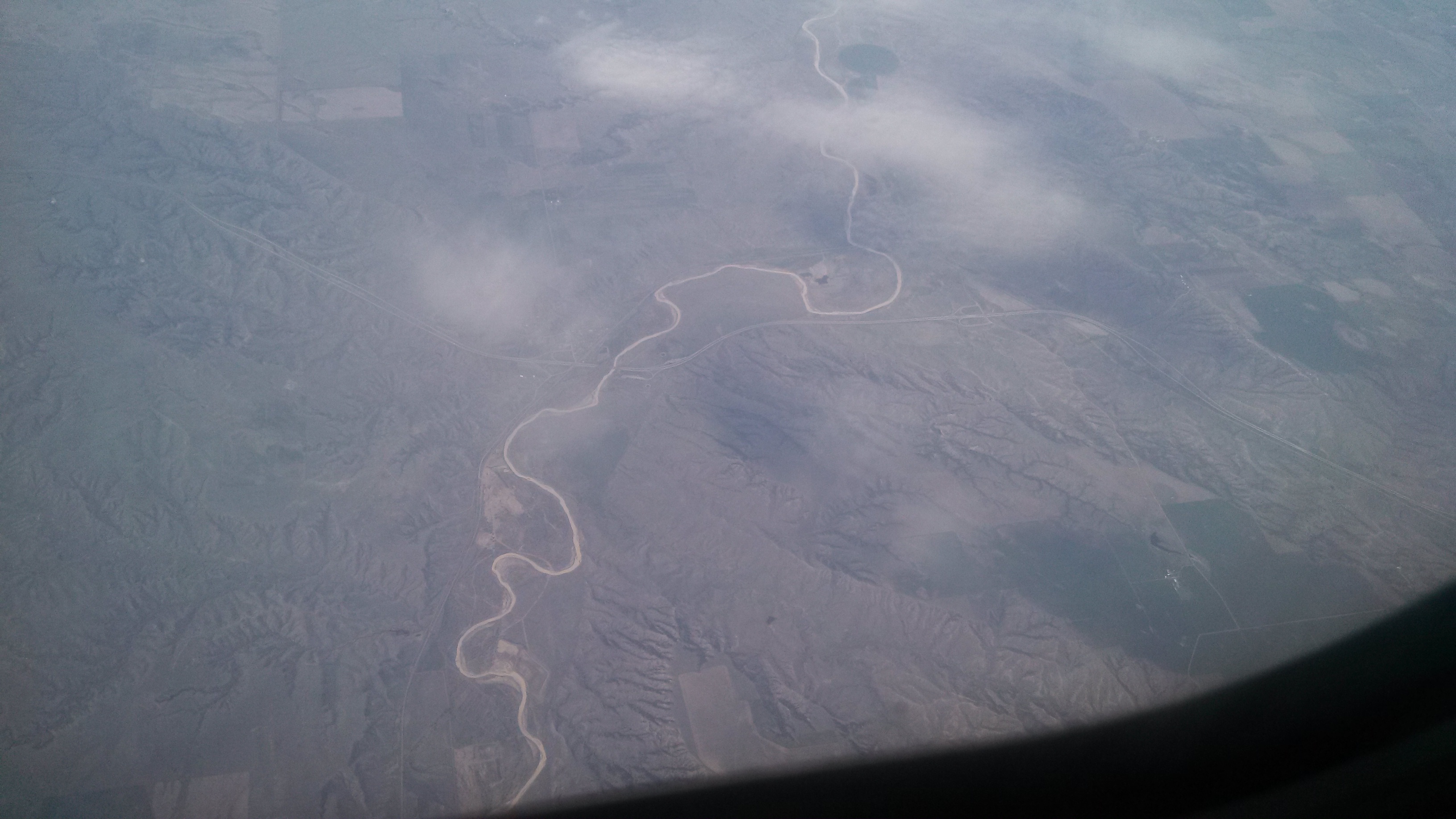
3:11pm PDT: Where in the USA are we now. GPS tag on this photo (first in flight to have one) is 43.963902, -102.569992… Someone find us! It looks like we are over the plains, eastern Wyoming, Nebraska or South Dakota, but no data connection for the phone GPS to use…

3:42pm PDT: Windmill Farm, the little white toothpicks in the ground. Taken from GPS coordinates 43.652653, -96.815262. Followed by scattered towers and then a second wind farm a bit to the east. Small and large wind farms stretching out along to the north of our flight path for the next 15 minutes…. The largest I saw had about 80 towers…
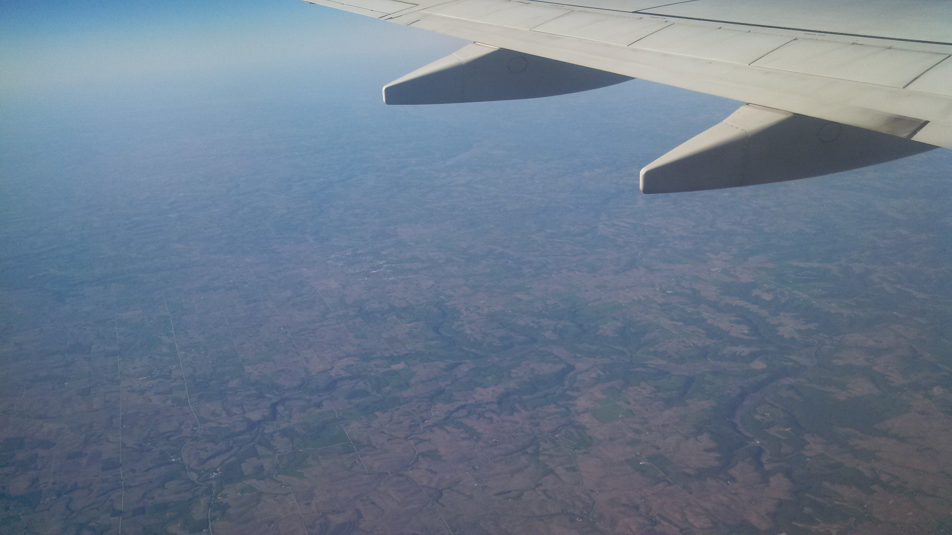
4:10pm PDT: Starting our decent into Chicago. Pilot said we were about 225 miles out, if I remember correctly…
(Photo GPS: 42.970509, -91.606705)
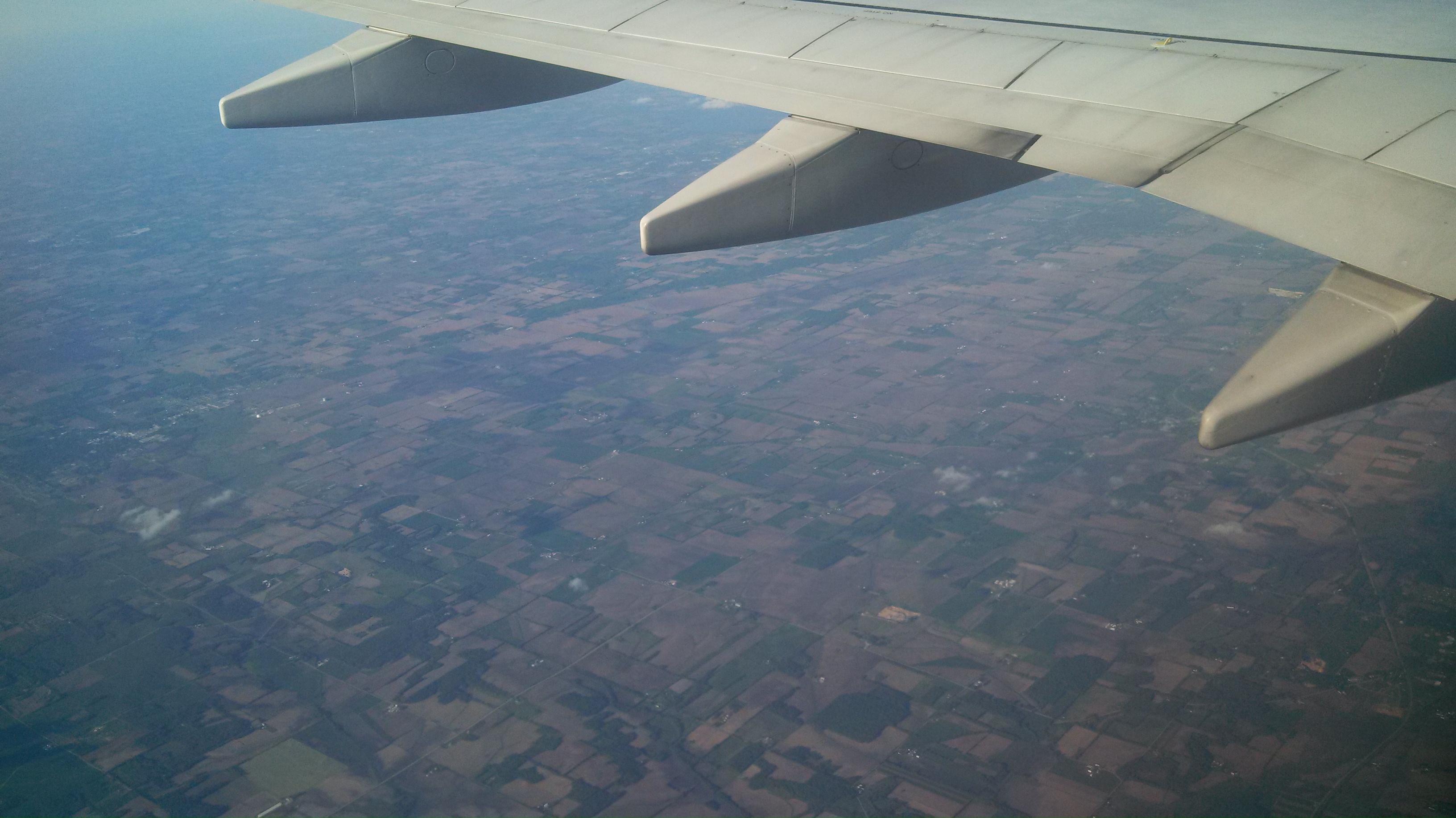
4:19pm PDT: Last picture as we sevens to Chicago and electronics need to turned off… (GPS: 42.632034, -89.481163)
Posted from my Droid Razr Maxx HD using WordPress for Android