San Francisco Bay Peninsula Travel Map…

Well, we are back to the hotel now, only going out again for dinner a little later, probably to Chili’s in San Bruno, so I figured I would take a minute and post the travel map for the day…  Click on the link and you will get a map of where we traveled today.  The one short break in the route was when we traveled through the “new” tunnel that replaced the road across “Devil’s Slide”, opened back in 2013.

Link to the travel map for 04-29-2015: San Francisco Bay Peninsula

Created by Google My Tracks on Android

Relaxing Day on the SF Bay Peninsula…

Decided to just drive around to some old sights and do a little shopping today. We were both to tired from a lack of sleep on Monday before our flights and all the BS with the flight delays getting out of Chicago.

image

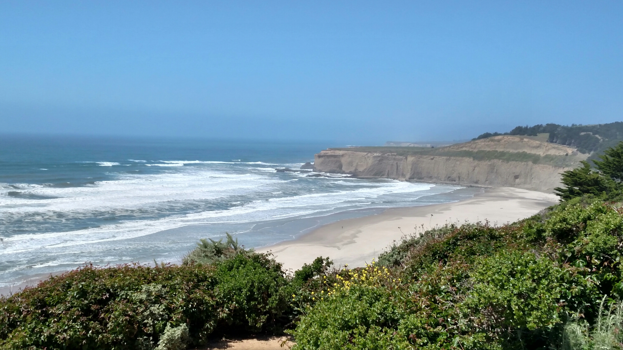
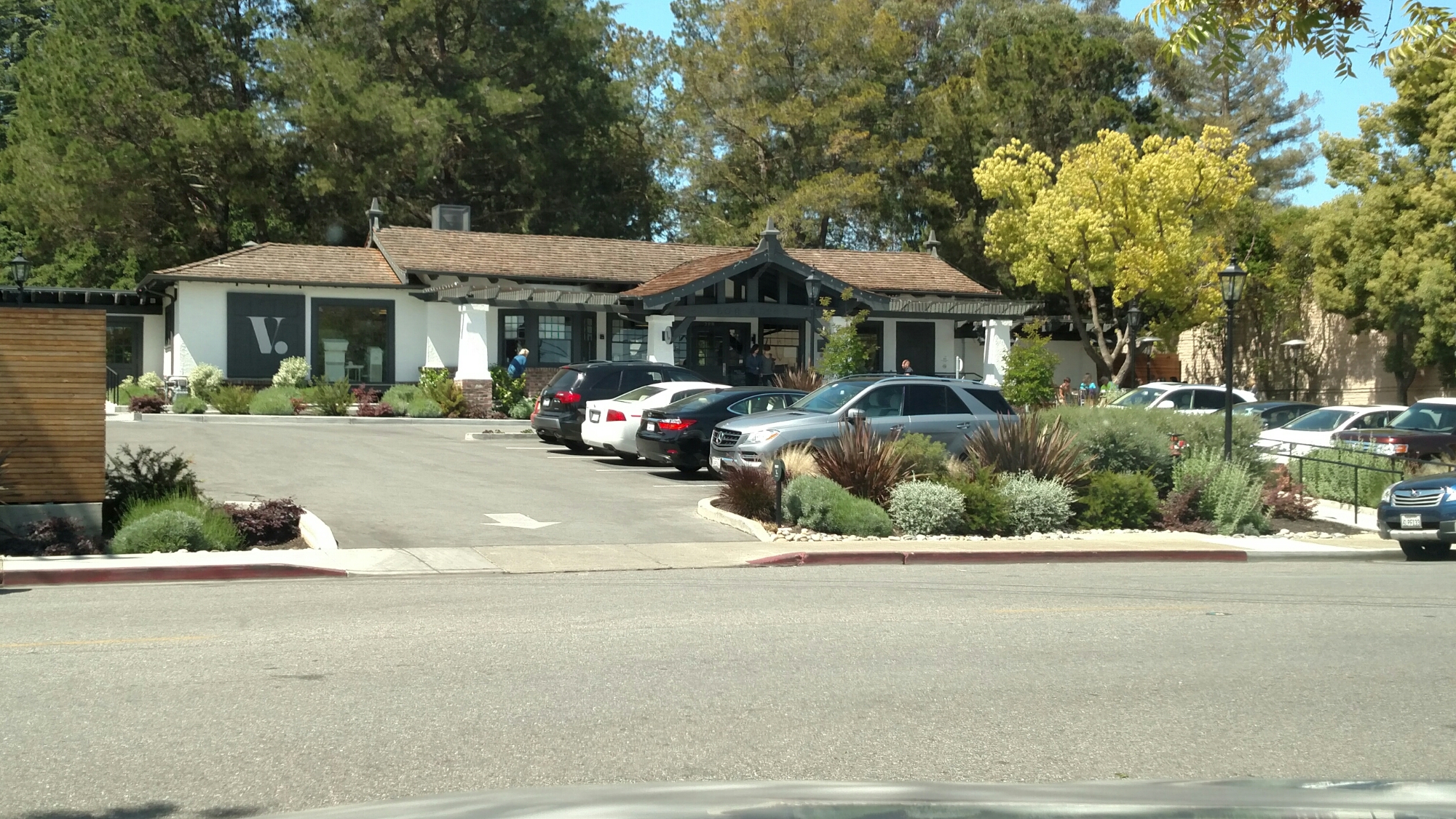
So, we went down to Los Altos to a terrific bakery for a late morning snack before crossing over the peninsula ridge on La Honda Road (CA-84) to San Gregorio Beach and drove north on Cabrillo Highway (CA-1).

image

Stopping in Daly City to check out a couple of Marianne’s favorite stores before heading back to the hotel to relax a bit before dinner…

First Evening in San Francisco…

After all the delays getting from Chicago to San Francisco, we decided to just grab some late lunch, check into our hotel and then just go out to dinner with our friend Steve Lipman.  I had nearly killed the battery on the phone, so no map of our evening drive down to Moss Beach Distillery for dinner and back, but it was no big trip anyway.  Now, since we have been up for nearly 21 hours, it is time to head to bed and get some sleep….

From this post until we arrive in Hawaii, all posts are in Pacific Daylight Time.  Previous posts should be in either EDT or CDT, I lost track….

Our Flight Track from Chicago to San Francisco

It may have taken us an extra couple hours to get out of Chicago, but we made good time me overall on the flight. Here is the map of out flight track from my phone via Google My Tracks

https://docs.google.com/file/d/0B4llnjWad3w7WE92UHVCOUdITkU/edit?usp=drivesdk

Created by Google My Tracks on Android
Welcome to California!

image

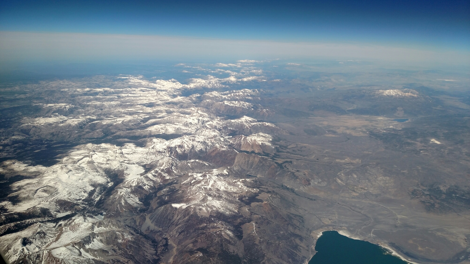
Passed over the Sierra Nevada Range, looking north, as we enter California airspace at 39,250 feet at about 3:45pm EDT or 12:45pm PDT.

image

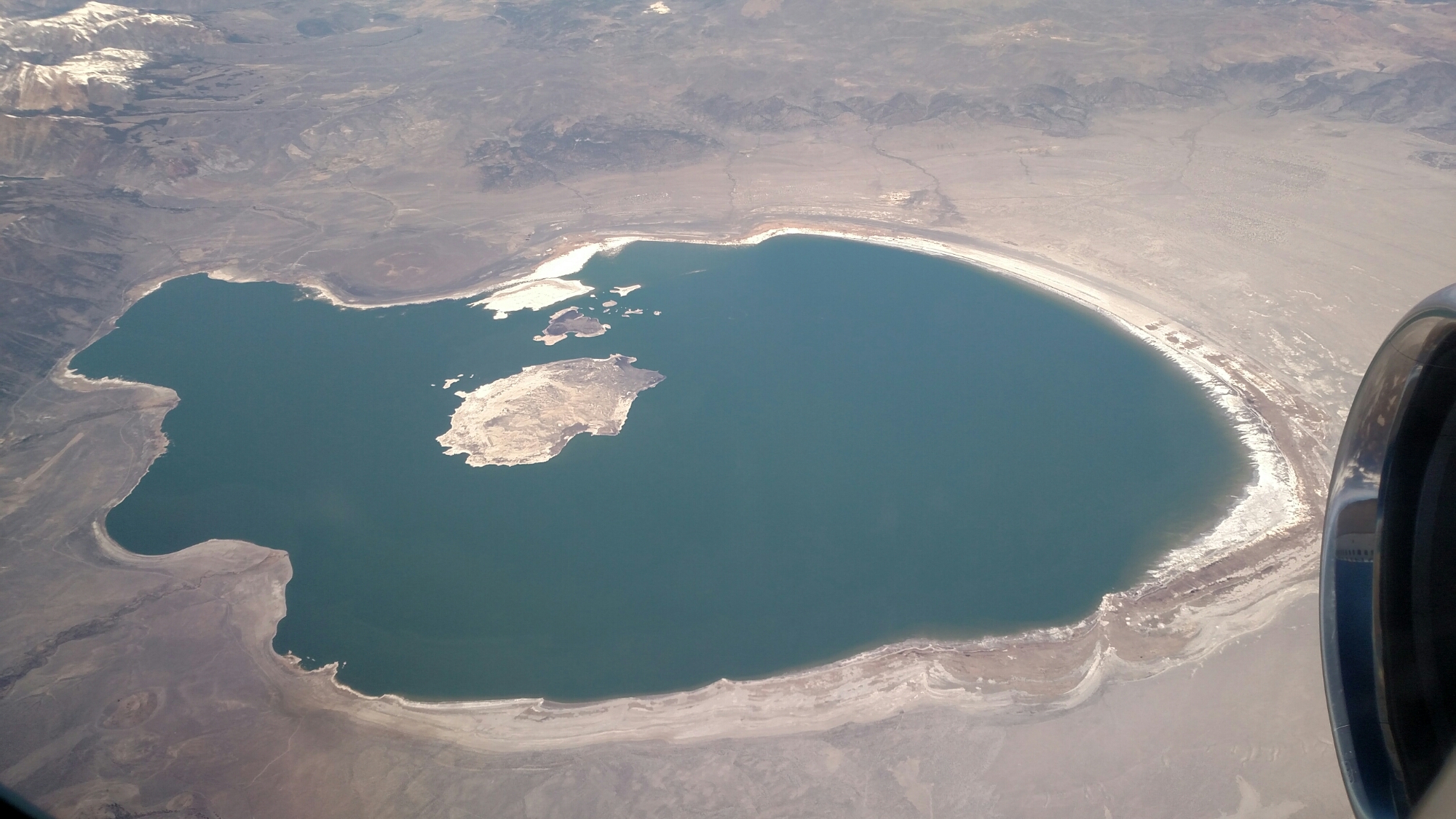
Just before the range, we passed by Mono Lake, even closer to the CA-NV border.

Beginning to slow and descend to San Francisco as I type, dropping 2000 feet and dropping 50 mph speed since I started this post… Pilot says wheels down in 20 minutes…