First Evening in San Francisco…

After all the delays getting from Chicago to San Francisco, we decided to just grab some late lunch, check into our hotel and then just go out to dinner with our friend Steve Lipman.  I had nearly killed the battery on the phone, so no map of our evening drive down to Moss Beach Distillery for dinner and back, but it was no big trip anyway.  Now, since we have been up for nearly 21 hours, it is time to head to bed and get some sleep….

From this post until we arrive in Hawaii, all posts are in Pacific Daylight Time.  Previous posts should be in either EDT or CDT, I lost track….

Our Flight Track from Chicago to San Francisco

It may have taken us an extra couple hours to get out of Chicago, but we made good time me overall on the flight. Here is the map of out flight track from my phone via Google My Tracks

https://docs.google.com/file/d/0B4llnjWad3w7WE92UHVCOUdITkU/edit?usp=drivesdk

Created by Google My Tracks on Android

Welcome to California!

image

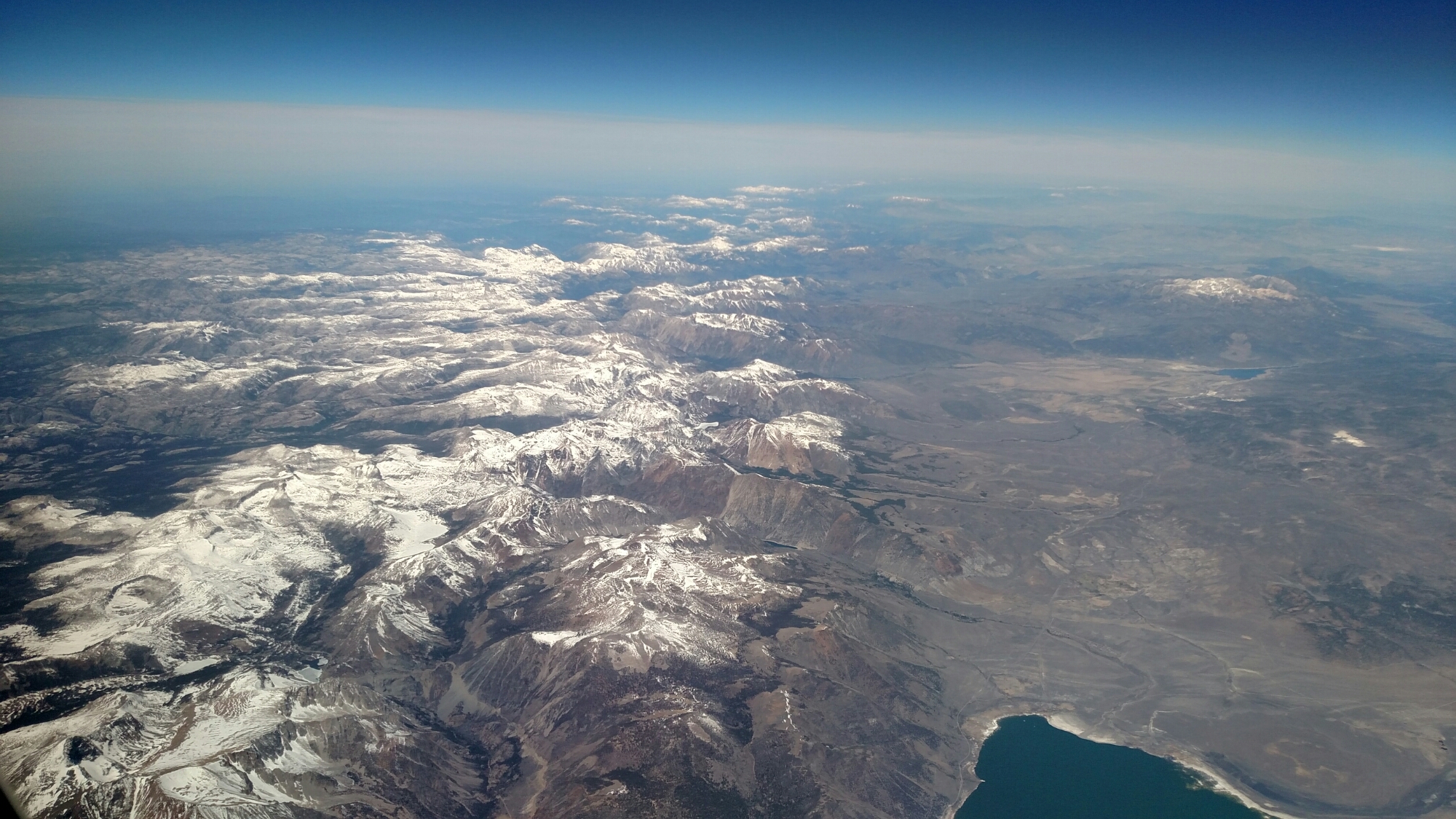
Passed over the Sierra Nevada Range, looking north, as we enter California airspace at 39,250 feet at about 3:45pm EDT or 12:45pm PDT.

image

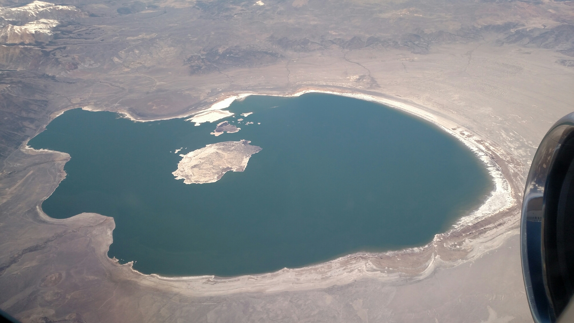
Just before the range, we passed by Mono Lake, even closer to the CA-NV border.

Beginning to slow and descend to San Francisco as I type, dropping 2000 feet and dropping 50 mph speed since I started this post… Pilot says wheels down in 20 minutes…

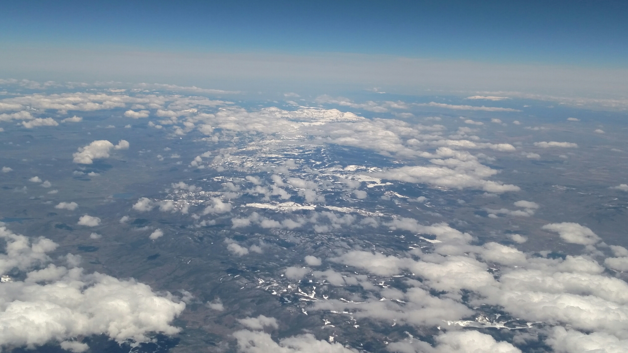
Colorado Rockies…

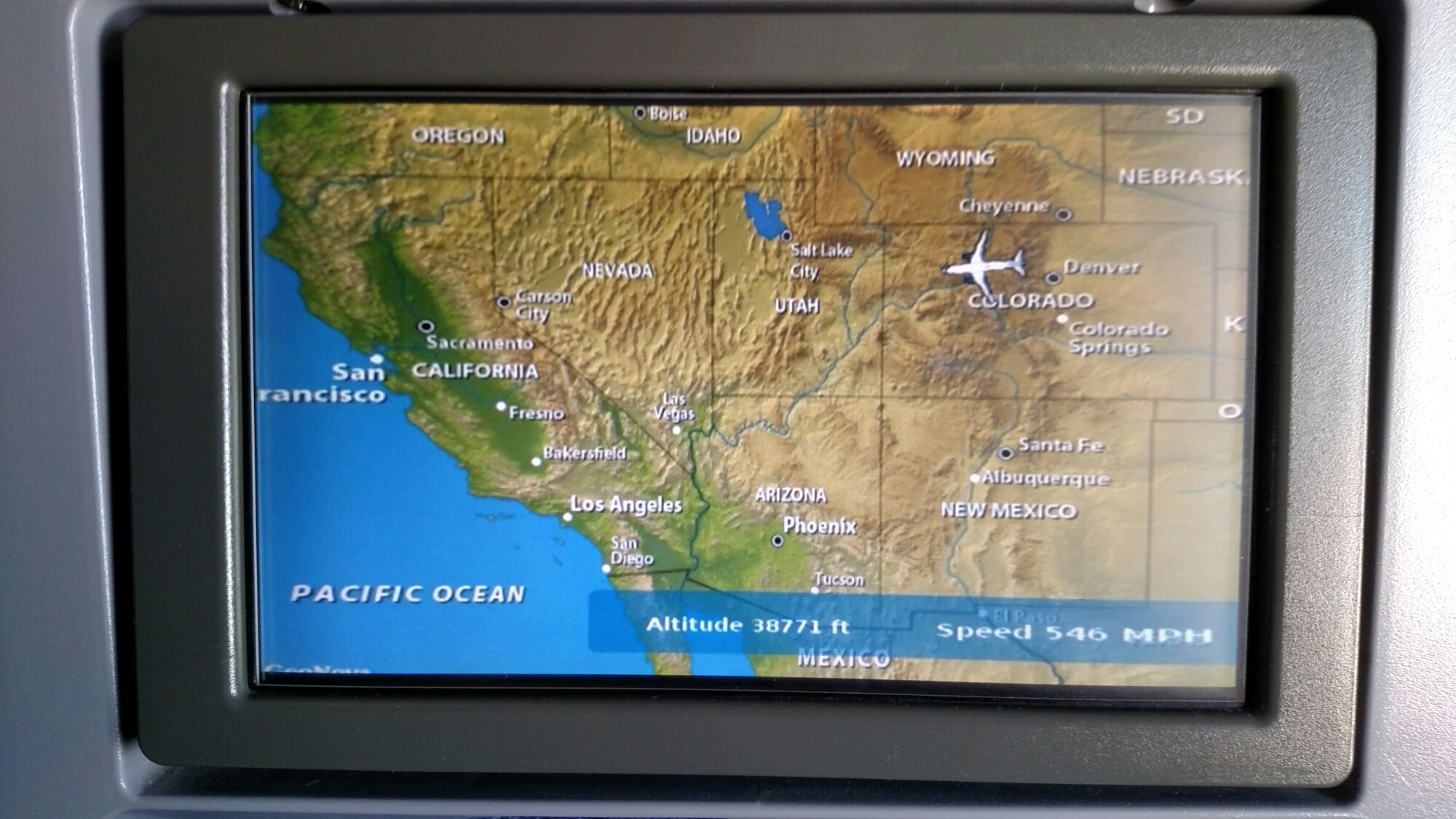
According to the information on the seat back TV map of our flight. We passed Vail Colorado in the Colorado Rockies about 2:20pm EDT (12:20pm MDT, or is Colorado still in central time?

image

image

Overall an uneventful flight, but the road has been a little bumpy at times.
Due to the flight delays, at least United gave everyone free access to the Direct TV feed 😉